4 advantages of recording information with drones
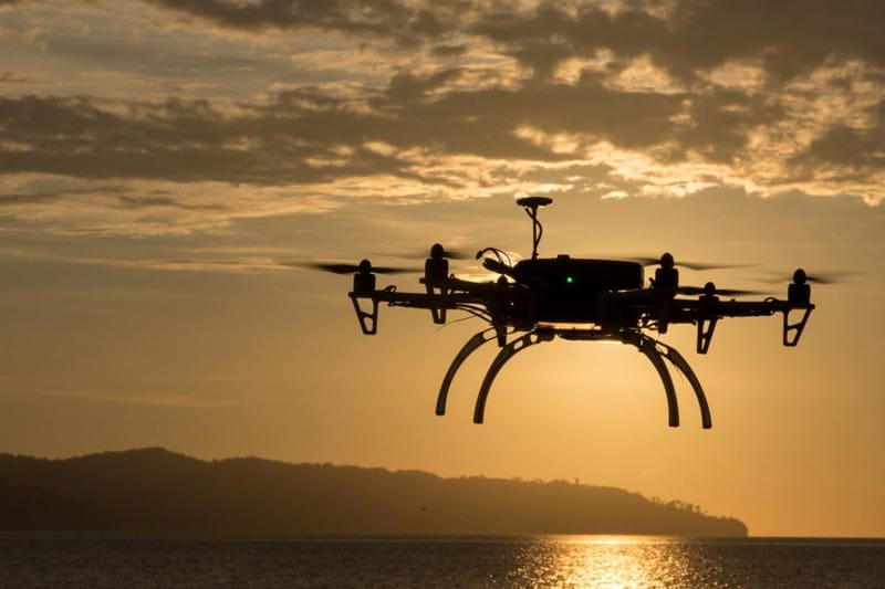
The growth and development of drones and unmanned aerial vehicles in recent years have undoubtedly changed many equations in various industries. Many large companies worldwide are planning and allocating budgets to implement their projects with the help of drones. We have posted many videos from Amazon, Toyota, Alibaba, and other major companies on Logiico's social networks. These videos show that these companies are heavily relying on drones and unmanned aerial vehicles to smarten their supply chain and logistics processes.
The Battle of Drones with Traditional Methods
In industries such as surveying, road construction, and processes that examine geographical conditions, drones and unmanned aerial vehicles play a significant role. For example, we can refer to surveying processes. In the past, using various tools with a high margin of error, difficult routes for mapping, and a thousand other problems, creating maps was considered a difficult, costly, and time-consuming task.
Thanks to these unmanned birds, this task has largely become a hobby for specialists in this field. Just press the power button, take control of the drone, and start recording data and images. According to studies and research conducted, the speed of surveying and data recording in this mode is 100,000 times faster than the traditional model. Additionally, there is a 25% saving in time and cost.
Add to all this data and information the ability to record information in 3D. With minimal effort, you just need to guide the bird in the right direction and easily create a 3D map of your desired location. We will briefly address the reason for all this investment and research and development.
The Increasing Development of Unmanned Aerial Vehicles
[caption id="attachment_665" align="aligncenter" width="800"]
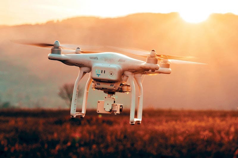
A view of a drone capturing images[/caption]
Here we examine the four main reasons for all this development and investment in this field:
Cost-effective:
As mentioned above, using unmanned aerial vehicles and drones in surveying and geographical and civil activities not only saves 25% in time and cost but also makes the work process dozens of times faster.
Reduced Activity Risk:
Reduced activity risk means working in difficult and challenging conditions. Places that are hard to access and where data and information collection is difficult. For example, surveying in mountains and mountainous areas. In these conditions, data collection through drones and unmanned aerial vehicles is considered much simpler and safer.
Better Flexibility and Access:
Surveying railways, power lines, gas pipelines, etc., all require high precision and detailed data recording. As mentioned in the traditional method, this precision is largely absent. By employing drones and unmanned aerial vehicles, these activities can be started easily and with increased safety.
Simple and Smart:
Since these unmanned birds, depending on their model, can fly at any altitude and condition, the information and data recorded can be examined and analyzed with better accuracy and clarity. Thus, more transparent reports will be available from the output and results obtained.